Satellite Images Reveal Iran's Missile and Nuclear Site…
Carmen López ·
Listen to this article~4 min
Satellite imagery reveals significant activity at Iranian missile and nuclear facilities, showing construction and development that suggests advancing strategic capabilities with regional implications.
### What the Satellites Are Showing Us
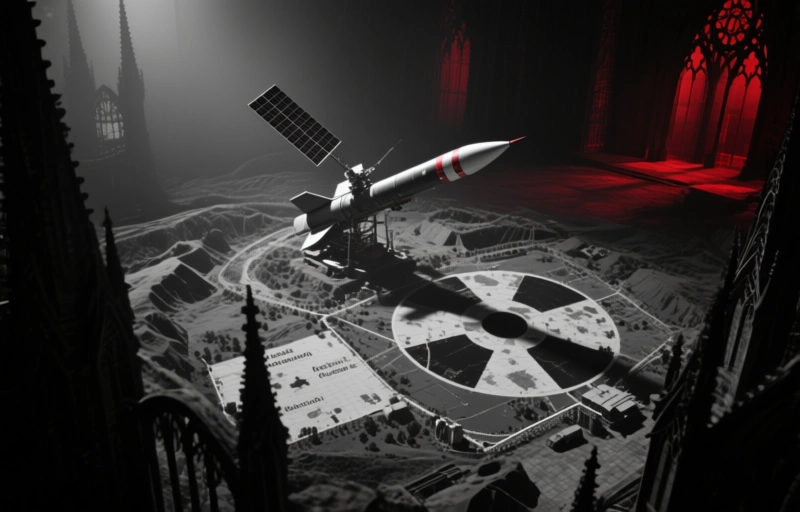
You know how sometimes you get that feeling something's happening, but you can't quite put your finger on it? Well, satellite imagery is giving us a much clearer picture of activity at key sites in Iran. It's not just speculation anymore—we're seeing physical evidence of construction and development at facilities linked to missile and nuclear programs.
These images don't lie. They show expansion, new structures, and increased activity that suggests Iran is moving forward with its strategic capabilities. It's like watching a puzzle come together from 400 miles up in space.
### Understanding the Strategic Implications
Let's talk about what this actually means. When a country invests in these types of facilities, it's not just about building structures—it's about developing capabilities that could reshape regional power dynamics. The Middle East is already a complex chessboard, and these developments add new pieces to the game.
Here's what experts are watching most closely:
- Missile range and accuracy improvements
- Nuclear material production capabilities
- Underground facility construction
- Transportation infrastructure around sensitive sites
Each of these elements tells part of a larger story about Iran's strategic priorities and technological ambitions.
### The Technology Behind the Discovery
What's fascinating is how far satellite technology has come. We're not talking about grainy black-and-white photos anymore. Modern satellites can capture incredible detail from space, allowing analysts to track changes over time with remarkable precision.
"The ability to monitor these developments from space represents a significant shift in how we understand global security challenges," notes one space technology expert. It's like having a continuous, high-resolution window into places that would otherwise remain hidden.
The technology can detect:
- New construction activity
- Changes in vehicle traffic patterns
- Thermal signatures from industrial processes
- Even subtle ground disturbances
### Why This Matters for Global Security
You might be wondering why this should matter to anyone outside intelligence circles. Here's the thing—developments like these don't happen in a vacuum. They affect everything from regional stability to international diplomacy to global energy markets.
When one country advances its strategic capabilities, others often respond. It creates a dynamic where everyone is watching everyone else, making calculations, and adjusting their own positions. It's a delicate balance that requires constant attention and careful diplomacy.
### Looking at the Bigger Picture
While it's easy to focus on the technical details of what the satellites show, we shouldn't lose sight of the human element. These developments affect real people—from the engineers working on these projects to the diplomats trying to navigate complex international relationships.
The challenge for policymakers is to respond appropriately without escalating tensions unnecessarily. It's a difficult line to walk, requiring both firmness and flexibility. The satellite images provide crucial information, but interpreting what they mean and deciding how to respond requires wisdom and judgment.
As we move forward, one thing is clear: space-based observation will continue to play a vital role in how nations understand each other's capabilities and intentions. The view from above gives us perspective, but it's what we do with that information that truly matters.